Services
Here to help you succeed.
I embrace the latest technology, I live it every day. Building efficient solutions that meet my client's needs is what I strive for; it's what I derive great satisfaction from. What would you like to map today?
“A Geographic Information System (GIS) is a computer system designed to capture, store, manipulate, analyze, manage, and present all types of spatial or geographical data.”
— Source: WikipediaGIS Implementation
Have you integrated spatial data into your workflow? Maybe you aren’t sure of the benefits GIS may bring to your organization? Let’s start with a conversation then work towards an implementation plan.
Web Applications
Do you need a custom web application? I can build you something using the latest HTML5 technology coupled with responsive design. My primary specialization is developing map-centric GIS web applications. However, if you aren't looking for a GIS web mapping application that's not a problem. I am completely open to working on any project that you need assistance with.


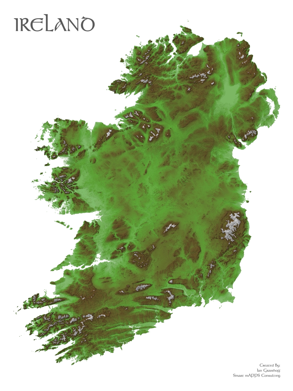
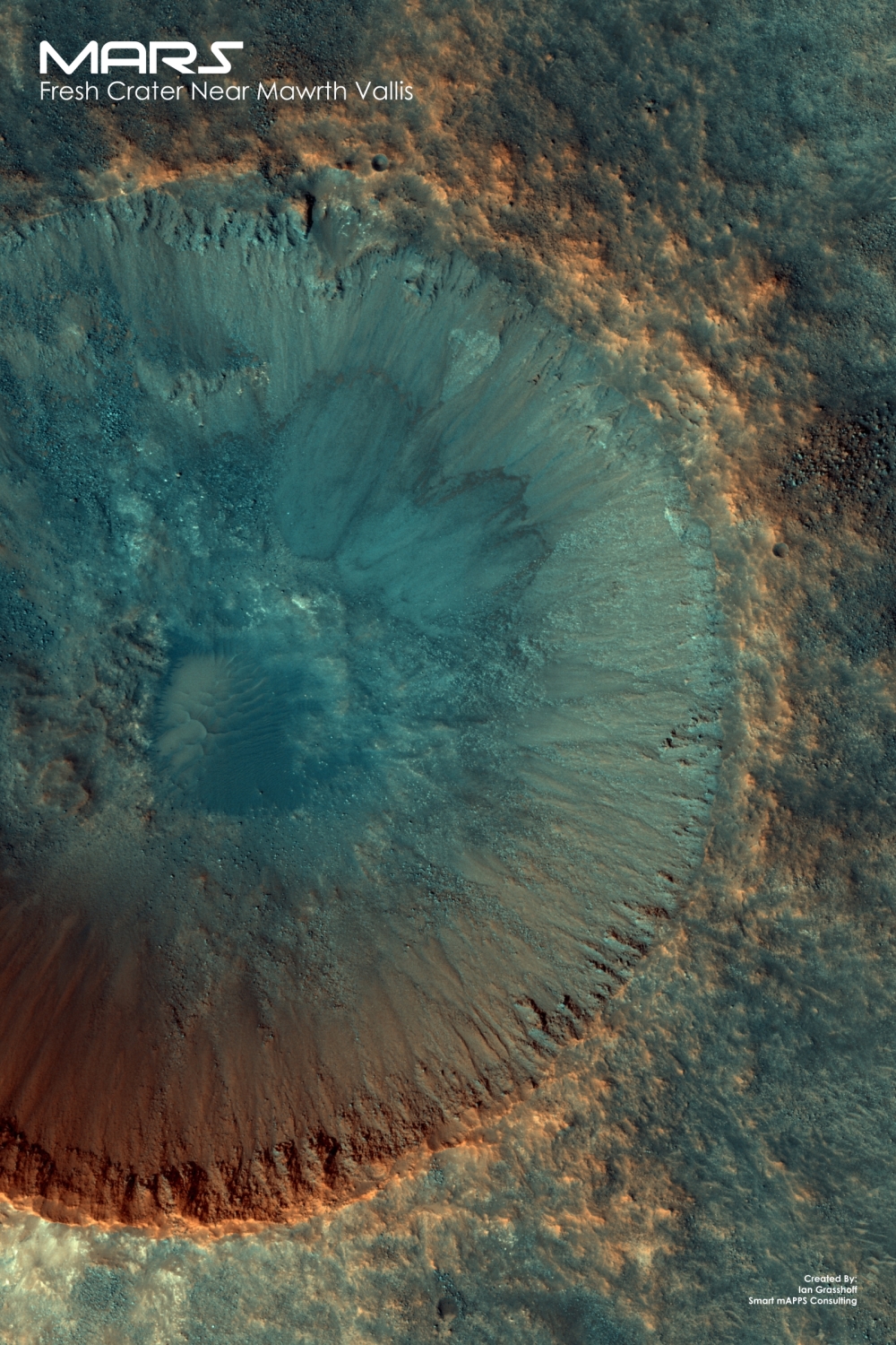
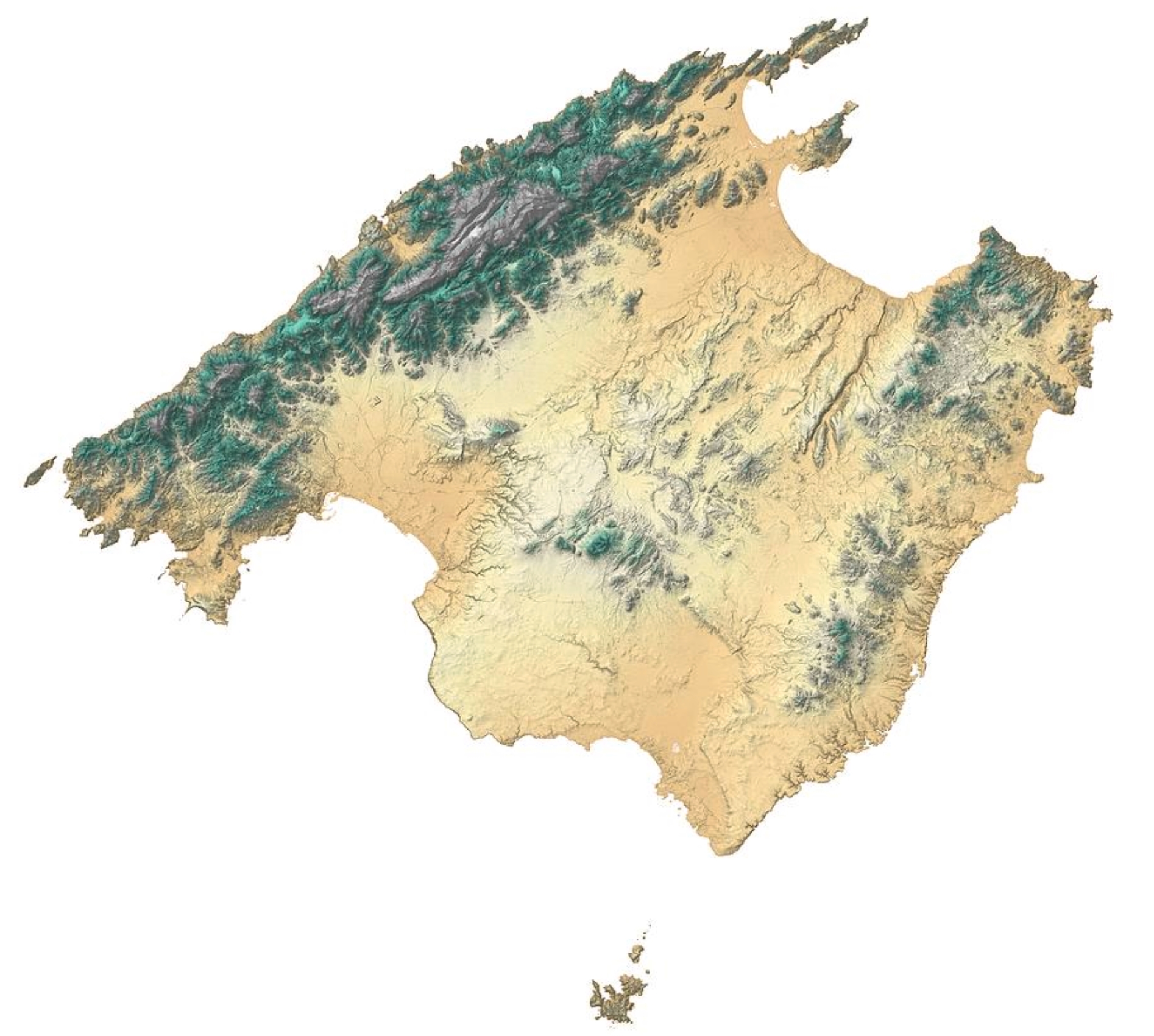
Map Production
I am a cartographer, first and foremost. I believe that a well designed map can convey more information than any other print medium. If a picture is worth a 1,000 words, than a map is worth 10,000 words! Do you have an idea for a map? Let me bring it to life.
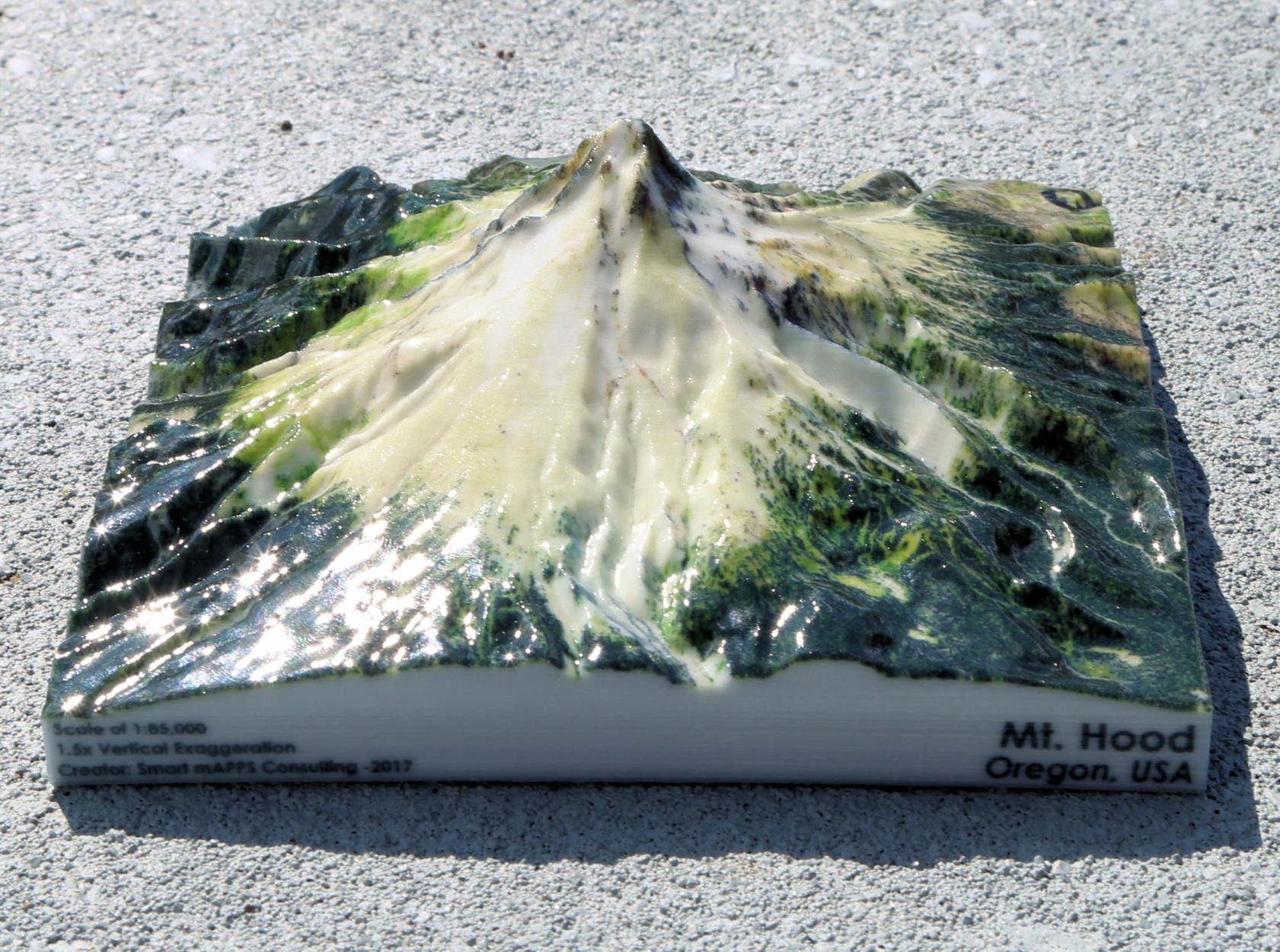
3D Prints
I specialize in the creation of full-color 3D Printed landscape maps. I can create custom 3D prints for any location in the world, contact me for deatils. Check out my examples below. You can also browse my Shapeways Shop to order off-the-shelf prints.
GIS Tools
Are you an ArcGIS user? Maybe you have a complex workflow, that when done manually is very time consuming. Have you asked yourself, “If we could somehow automate this process we could save ourselves a ton of time.” I ask myself this question whenever I start a GIS project. Let me build you the tools that you need to streamline your workflow and make your job easier and more efficient.
Data Conversion
Got data? We all do right!? Do you need help converting it to another format? Maybe you have a bunch of CAD data that you need converted to a GIS format? Do you have a ton of data in spreadsheets that you need to see laid out on a map? I am here to help.
What I do.
I come from a strong service-oriented background, so for me customer service is paramount. It all starts with understanding your requirements. Do you have a vision for something that you need created? Maybe you already have the start of a project or idea but you need someone to help fill in the details? I have experience working with people that may, or may not have a deep understanding of Information Technology. It all starts with understanding your requirements. No matter what stage your project is at, I can help make it a reality.
Technology.
My primary background is in commercial off-the-shelf enterprise GIS like Esri ArcGIS. However, I do have experience with open source GIS packages like QGIS. I love learning new technology and skills; I find that I become tremendously energized by the process. There are so many different tools to accomplish the same task, so it’s important to have a large skill set along with exposure to a variety of technologies.
What I Offer...


Over the Years I Have Acquired an Arsenal of Skills
-
"Smart mAPPS Consulting provides outstanding programming design, development and support, enhancing application value and satisfaction for the customer and end-user alike."
— Greg Blonde -
"Smart mAPPS Consulting walked us through the app development process, ultimately enhancing the user’s experience, look & feel, and intuitiveness of the app. Smart mAPPS far exceeded our expectations with the end product."
— Ryan Sterry -
"Ian was great to work with. He knew just what I wanted and the turnaround time on changes was often the same day."
— Matt Van Pomeren
Projects
A Sampling Of My Work.
Below you will find examples of projects that I have completed in the recent past. I am just getting my business started, so there will be much more to come. I hope you find my work to be of the highest quality!
HERE IS WHAT I DO...NATIVE MOBILE APPS, WEB GIS APPS, 3D PRINTS, MAP PRINTS and EVERYTHING


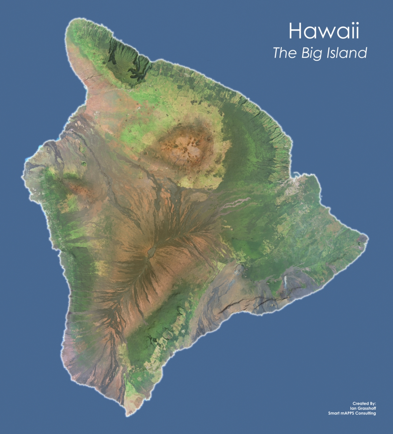


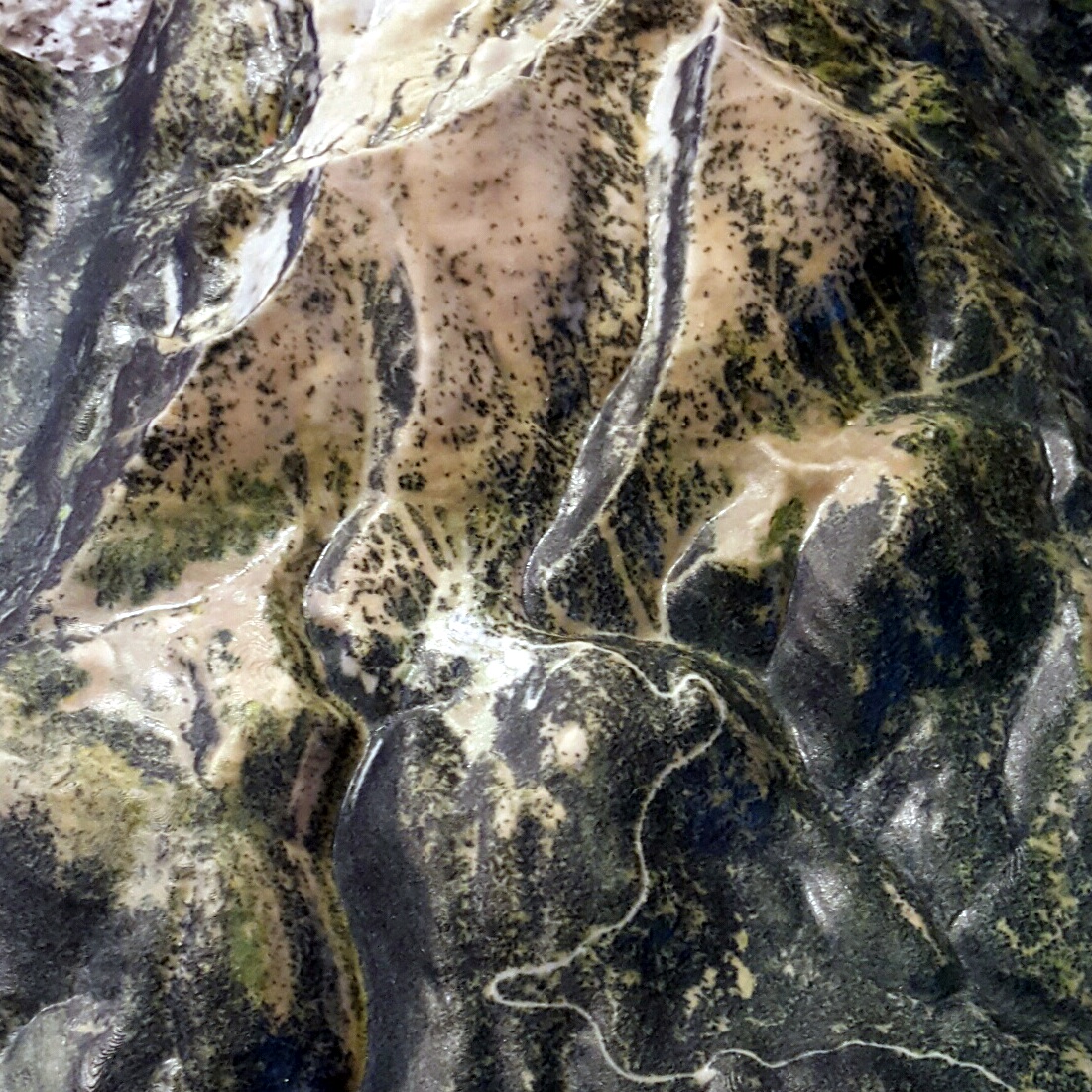

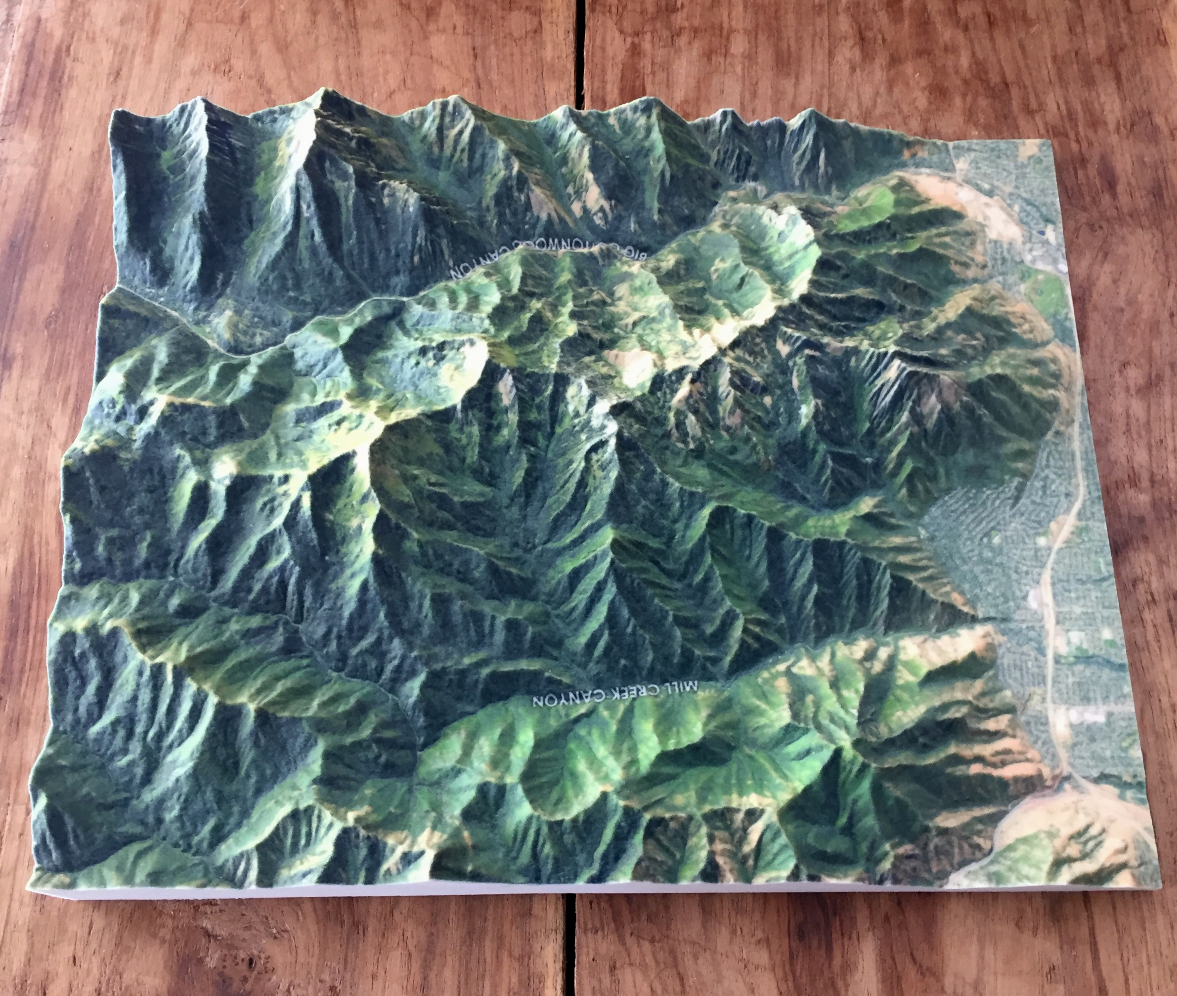
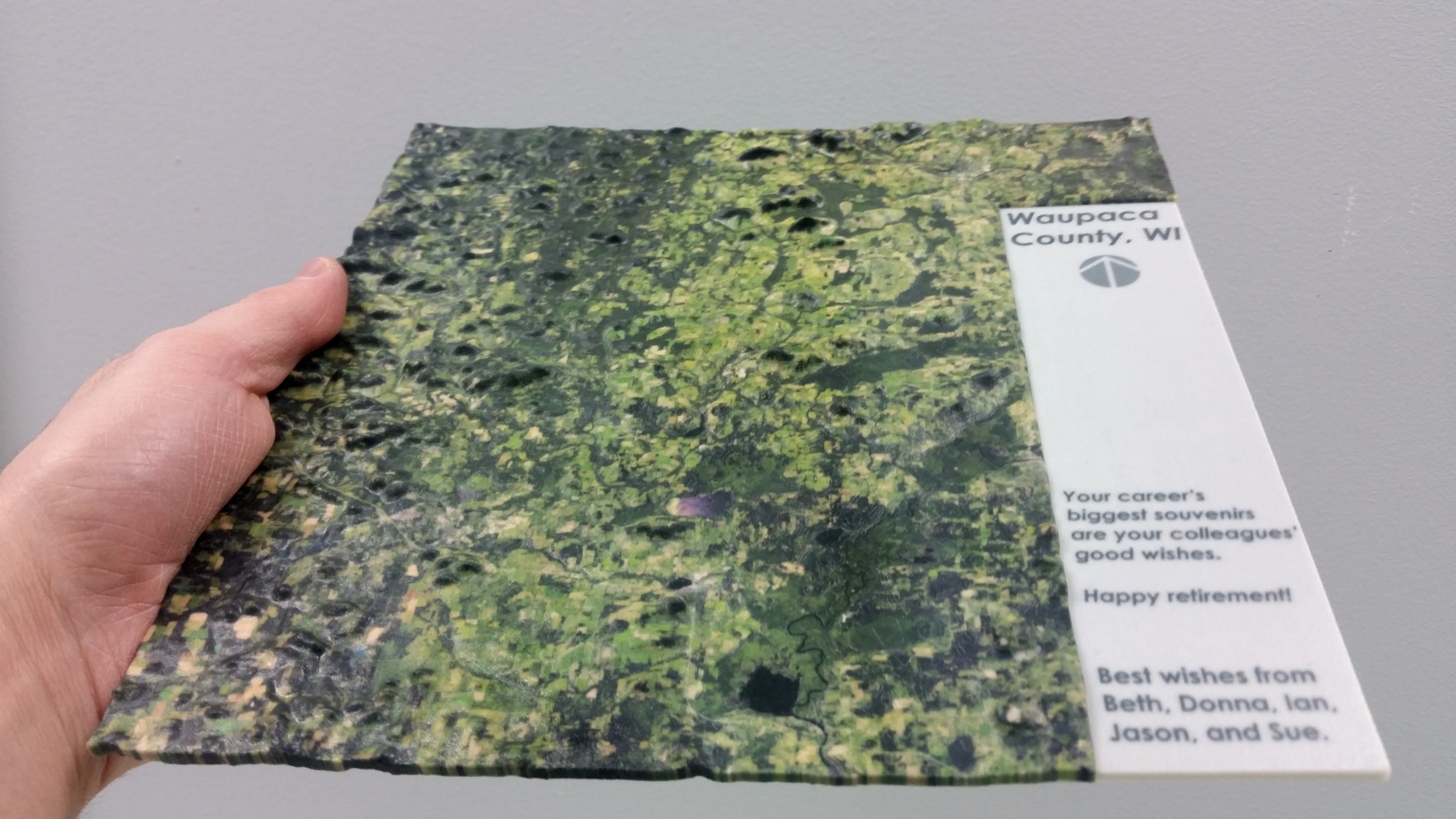


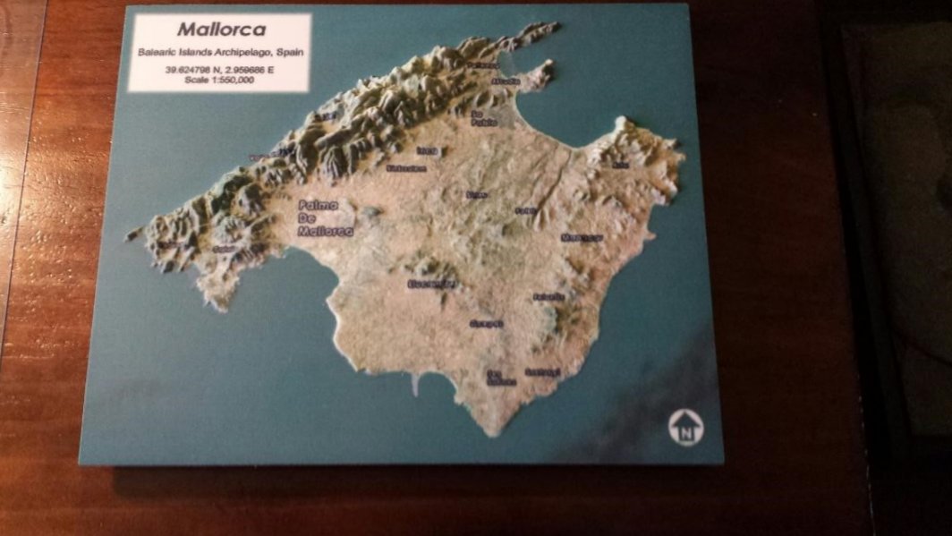


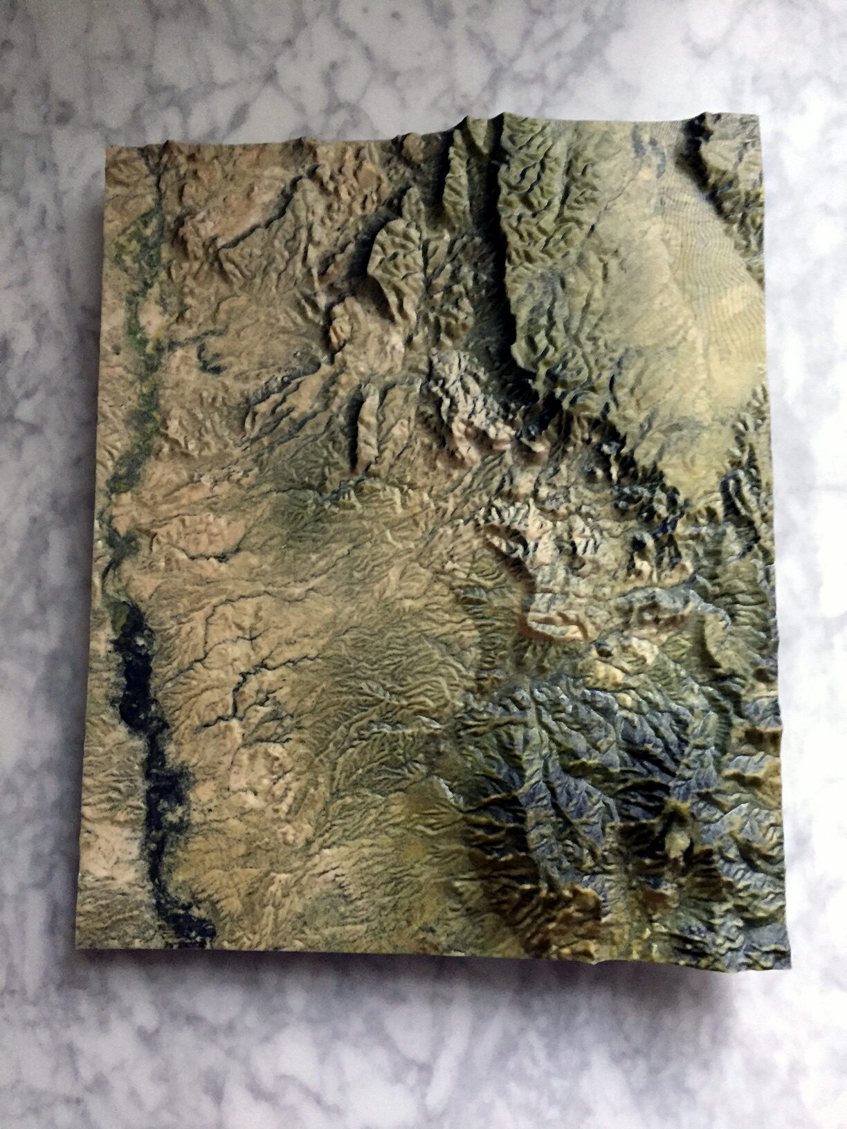
3D Prints
Raised Relief Landscape Maps/Models aka 3D Topo Maps.
Are you or someone you know a map geek? If so, then I have the perfect gift! I have developed a series of
What makes my 3D prints unique? It all starts with the custom process I developed to create my 3D prints. I utilize Open Source mapping and 3D modeling software, coupled with the best available public data. The final result is a product that is completely unqiue and something that you won't find sold in any store.
Size and Price
Model print sizes and scales can be customized to meet your budget needs. Below are some typical sizes and corresponding prices. These prices can vary a little based on the
terrain.
* Means the size fits into a standard shadow box frame
- 4" x 4" = $100
- 4" x 6" = $125
- 5" x 7" = $145
- 6" x 6" = $150
- 7" x 7" = $196
- 8" x 8" = $275*
- 8" x 10" = $320*
- 6" x 14" = $330*
- 8.5" x 11" = $375*
- 10" x 10" = $400*
- 12" x 12" = $575*
- 11" x 14" = $620*
- 9" x 20" = $700*
- 11" x 17" = $725*
- 12" x 16" = $775*
- 14" x 18" = $1,000
- 15" x 20" = $1,200
How to Purchase...
I currently have 100+ models available for sale through my Shapeways Shop. Otherwise, you can contact me to request a custom 3D printed map of any location in the world!
3D Print Material Information
Sandstone is the only material capable of full-color 3D prints. Produced on 3D Systems printers, it is perfect for figurines, life-like models, avatars, and other products that lend themselves to colorful, high-quality printing. Models are created by printing binder material and colored ink layer-by-layer into a bed of gypsum-based powder. After printing, the models are finished with a cyanoacrylate (super glue) sealant to ensure durability and vivid colors. The final product is a hard, brittle material that works great for figurines and visual models, but isn't well suited to functional parts or daily handing. Models should be handled carefully, and not exposed to water as it will cause fading.
Coated Full Color Sandstone goes through an additional processing step. A two part epoxy resin is brushed onto your product by hand, creating more vivid colors, additional strength, and a smoother surface finish.
When printing in this material, some variation in color shade is unavoidable, especially with difficult-to-produce colors such as browns and skin tones. We optimize each print run to make individual models look great, may see differences in color when looking at multiple prints of the same model side by side.
About Me
The man behind the maps and apps.
Ever since I was young I have loved maps. I have fond memories of hunting through old National Geographic magazines and pulling out the maps, which I would subsequently use to decorate the walls of my room. When I was exposed to our first personal computer, I was hooked from day one. I feel very fortunate to have found a career that blends two of my strong interests, Geography and Information Technology.
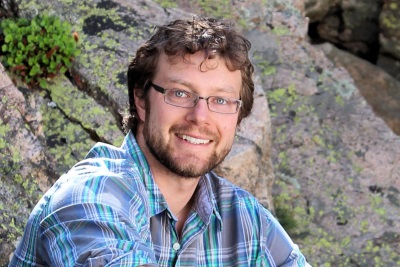
Ian Grasshoff
GIS Consultant / DeveloperIan has over 12 years of GIS experience. He has done everything from cartography, spatial data maintenance, database design, web application development, and android development. Ian holds a Bachelor's of Science degree from the University of Wisconsin Stevens Point where he majored in Geography with Minors in Geographic Information Systems (GIS) and Earth Science. Ian is a 2013 recipient of the Esri Special Achievement in GIS (SAG) Award. He has also been a board member of Wisconsin Land Information Association (WLIA) and the Wisconsin Land Information Officers Network (LION). Ian's applied GIS experience has primarily been within the local government sector. He has utilized his skills within the fields of Emergency Management, E911, Land Records, Land Use Planning, and GIS administration.
At Your Service Don't Wait, Let's Connect Today
Contact Me
I would like to hear from You!
Would like to find out more about my services? Do you have a project idea you are ready to discuss? Use the form below to connect with me.
Don't like filling out forms? Reach out via smartmapps[at]gmail[dot]com (sorry for funky formatting, it's to fool automated spammers).
Smart mAPPS Consulting
Stevens Point, Wisconsin, USA